Difference between revisions of "MAPS Gallery"
From Glen Canyon Dam AMP
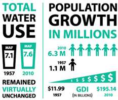
(add Population and water use graph) |
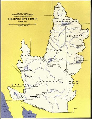
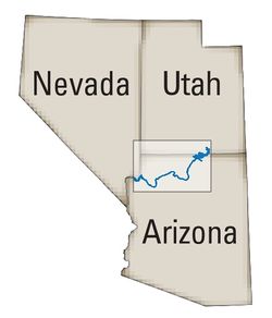
(add MAP- Colorado River -GCDAMP-SCOPE) |
||
| Line 16: | Line 16: | ||
---- | ---- | ||
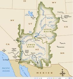
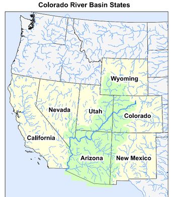
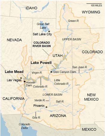
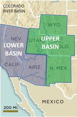
| − | <Span>[[File:Temperature- pre and post dam- GRAPH.jpg |350px]]| [[File:MAP- CR Basin -Interactive- Western Resources Advocates.jpg| 350px]][http://coriverbasin.org/colorado-river-basin-map/ LINK]| [[File:Strong turbidity gradient Slide 15.jpg|250px]]</Span> | + | <Span>[[File:Temperature- pre and post dam- GRAPH.jpg |350px]]| [[File:MAP- CR Basin -Interactive- Western Resources Advocates.jpg|350px]][http://coriverbasin.org/colorado-river-basin-map/ LINK]| [[File:Strong turbidity gradient Slide 15.jpg|250px]]</Span> |
---- | ---- | ||
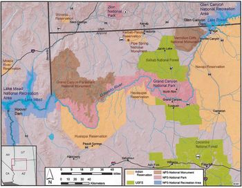
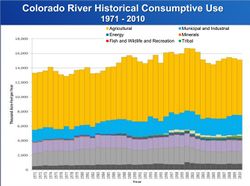
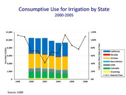
| − | <Span>[[File:MAP- Reservations- Parks- Monuments.jpg|350px]]|[[File:GRAPH- CR Historical Consumptive Use- CRWUA-13 1971-2010.jpg|250px]]|[[File:GRAPH- Consumptive Use for Irrigation by State- CRWUA-13 2000-2005.jpg|250px]]</Span> | + | <Span>[[File:MAP- Reservations- Parks- Monuments.jpg|350px]]|[[File:MAP- Colorado River -GCDAMP-SCOPE.jpg|250px]]|[[File:GRAPH- CR Historical Consumptive Use- CRWUA-13 1971-2010.jpg|250px]]|[[File:GRAPH- Consumptive Use for Irrigation by State- CRWUA-13 2000-2005.jpg|250px]]</Span> |
---- | ---- | ||
Revision as of 09:10, 16 May 2014
DIAGRAMS
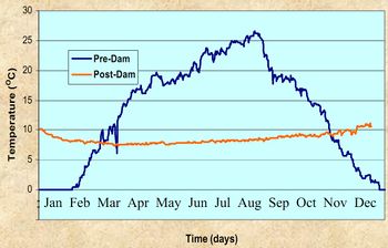 |
| 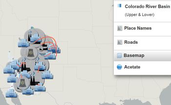 LINK|
LINK| 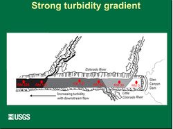
Image: Image:
