Difference between revisions of "GCDAMP Fact Sheets"
From Glen Canyon Dam AMP
(size) |
(wording) |
||
| Line 11: | Line 11: | ||
</td> | </td> | ||
<td width=10% valign=bottom align=left style='width:2.05in;padding:0in 5.4pt 0in 5.4pt'> | <td width=10% valign=bottom align=left style='width:2.05in;padding:0in 5.4pt 0in 5.4pt'> | ||
| − | <p class=MsoNormal>*[[Portal:Natural_Resources_Department|Back to | + | <p class=MsoNormal>*[[Portal:Natural_Resources_Department|Back to Main Page]]</p> |
</td> | </td> | ||
</tr> | </tr> | ||
Revision as of 17:16, 11 October 2012
|
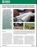
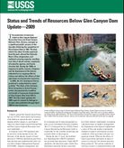
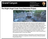
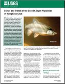
Picture of Slides for Presentation Click on picture for larger image. Mouse over for Name/Title PREVIOUS VERSIONS |
|
|
HFE effects to CRE| USGS Three experimental HFE- Effects on downstream CRE] |
|
[Link] |
