Difference between revisions of "Hiking Folder"
From Glen Canyon Dam AMP
(add hiking pic) |
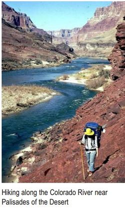
(add PIC- Hiking along the CR NPS) |
||
| (One intermediate revision by the same user not shown) | |||
| Line 23: | Line 23: | ||
*[http://www.nps.gov/grca/planyourvisit/trail-closures.htm#CP_JUMP_140503 NPS Grand Canyon Critical Backcountry Updates: Including Trail Closures and Restrictions] | *[http://www.nps.gov/grca/planyourvisit/trail-closures.htm#CP_JUMP_140503 NPS Grand Canyon Critical Backcountry Updates: Including Trail Closures and Restrictions] | ||
*[http://www.nps.gov/grca/planyourvisit/upload/Corridor_Brochure.pdf NPS Brochure] | *[http://www.nps.gov/grca/planyourvisit/upload/Corridor_Brochure.pdf NPS Brochure] | ||
| + | |||
| + | |||
| + | ---- | ||
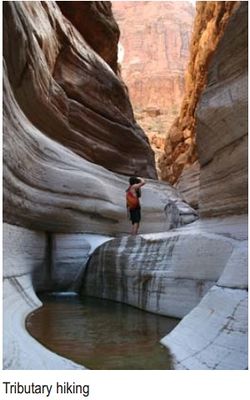
| + | [[File:PIC-_Tributary_Hiking_along_the_CR_NPS.jpg|250px]][[File:PIC- Hiking along the CR NPS.jpg|250px]] | ||
Latest revision as of 21:48, 16 July 2014
| Hiking | |
 |
Data Source:
OVERVIEW
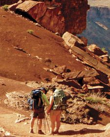
- The Colorado River is a popular destination for many of Grand Canyon's 37,000 overnight backpackers and thousands of day hikers.
- Approximately 56% of backpackers camp overnight in the popular Cross-canyon Corridor that includes three campgrounds and a trail system that links South Rim to North Rim.
- NPS Grand Canyon Critical Backcountry Updates: Including Trail Closures and Restrictions
- NPS Brochure

