Difference between revisions of "Portal:GCDAMP Gallery"
From Glen Canyon Dam AMP
(add) |
(add 20130413 American Rivers- Video- PIC.jpg) |
||
| Line 46: | Line 46: | ||
*[[File:121119 GCD -HFE-USBR - Video Clip.jpg|Thumb|50px]] [http://www.usbr.gov/uc/rm/gcdHFE/2012/video/index.html VIDEO LINK] | *[[File:121119 GCD -HFE-USBR - Video Clip.jpg|Thumb|50px]] [http://www.usbr.gov/uc/rm/gcdHFE/2012/video/index.html VIDEO LINK] | ||
*[[File:2012 HFE -PIC.jpg|Thumb|50px]] [http://youtu.be/kNmtWUBYf0s VIDEO LINK] | *[[File:2012 HFE -PIC.jpg|Thumb|50px]] [http://youtu.be/kNmtWUBYf0s VIDEO LINK] | ||
| − | *[http://www.youtube.com/watch?v=mqYcC7jEe44&list=PLlRq94-Jr0rd8K-bIzotRRqaHfhEpmxGq&index=1 ] | + | *[[File:20130413 American Rivers- Video- PIC.jpg|thumb|50px]] [http://www.youtube.com/watch?v=mqYcC7jEe44&list=PLlRq94-Jr0rd8K-bIzotRRqaHfhEpmxGq&index=1] |
April 16, 2013_ American Rivers_Colorado River - America's Most Endangered River 2013 | April 16, 2013_ American Rivers_Colorado River - America's Most Endangered River 2013 | ||
Revision as of 13:54, 21 February 2014
- |
<<<GCDAMP PHOTO GALLERY-LINK>>>
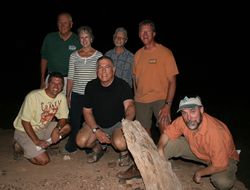
- 140214 Picture Uploads- PICS- Anne Castle
- 131207_Grand Canyon-Hoover Dam- Lake Mead- Overflight PICS- JThiriot
- 130808_LTEMP-SDM Flagstaff- Pics
- 130726_Natal Origins and Juvenile Humpback Chub science trip- Craig Ellsworth
- 130221_AMWG Field Learning- CAP
- 121119_HFE Event
- 120831_AMWG Field Learning
- 120831_AMWG Field Learning- Jason Pics
- 120921_Natal Fish Origins- Pics
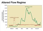
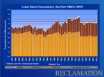
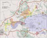
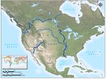
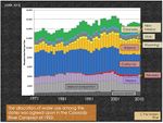
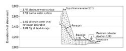
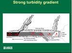
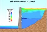
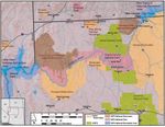
MAPS & DIAGRAMS
VIDEO GALLERY
|VIDEO LINK- VIDEO: AZGFD monitoring in the Little Colorado River: Youtube LINK
- Video Link- AZ Central_ National Park Service attempts to undo trout damage at Grand Canyon
- AZGF video of 2012’s HFE
- USBR-- Hydropower Video - Hydropower is a renewable and reliable resource providing clean energy to the western United States. It is the nation's largest renewable energy resource and the Bureau of Reclamation is the second largest producer in the United States. Watch the new Reclamation video on hydropower.
- USBR--Colorado River Basin Study Overview Video - In this brief video, Basin Study Project Manager Terry Fulp presents a snapshot of the Study's goals and progress, and invites public participation in the activities.
 VIDEO LINK
 VIDEO LINK
- [1]
April 16, 2013_ American Rivers_Colorado River - America's Most Endangered River 2013
