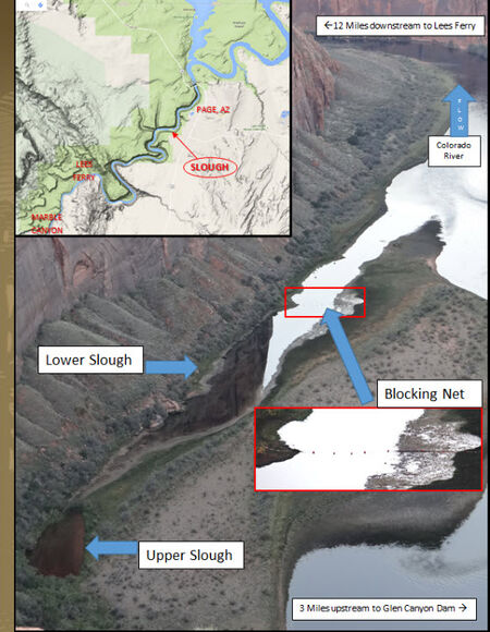
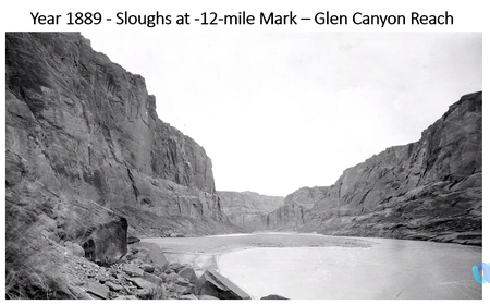
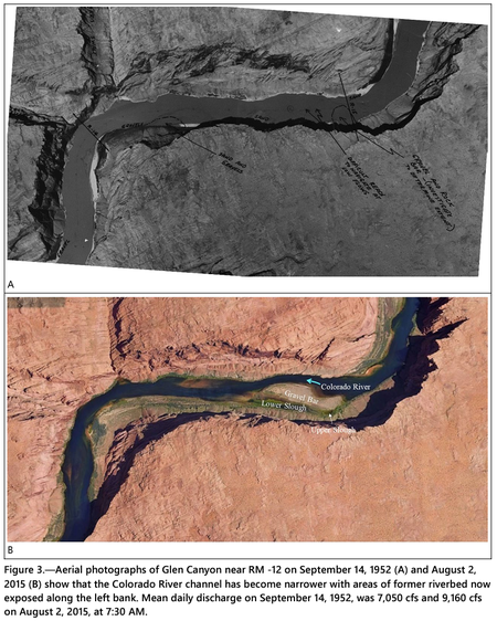
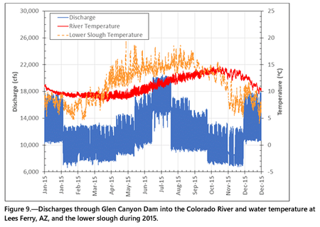
Following the closure of Glen Canyon Dam in 1963, Lake Powell began trapping sediment that resulted in erosion of the Colorado River channel through Glen Canyon creating a narrower and deeper channel (Pemberton, 1976, and Grams et al, 2007). Near RM -12, the channel thalweg has lowered 10 ft and the water surface elevation has lowered 5 ft subsequent to 1959 (Grams et al, 2007 see figure 9 of that report). Notations on a 1952 aerial photograph indicate that the left side of the river channel was shallow with a submerged “gravel and rock bar” at the upstream end and a sandbar at the downstream end (Figure 3A). In other words, the upper and lower slough as they exist today did not exist prior to the dam. After many years of streambed erosion, the channel became deeper along the right side of the canyon while the left side of the former riverbed became exposed as a high gravel bar. Depressions on the left side of the exposed gravel bar now function as the upper and lower sloughs (Figure 3B). [2]
|
