File list
This special page shows all uploaded files.
First page |
Previous page |
Next page |
Last page |
| Date | Name | Thumbnail | Size | User | Description | Versions |
|---|---|---|---|---|---|---|
| 07:21, 17 August 2016 | FatheadMinnow.JPG (file) |  |
93 KB | Cellsworth | Fathead minnow | 1 |
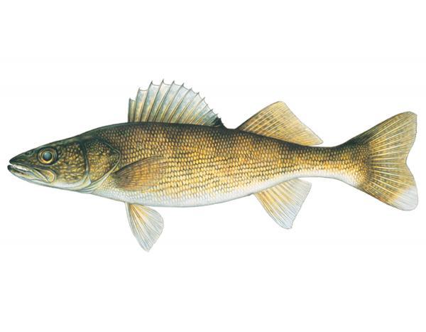
| 07:19, 17 August 2016 | Walleye (1).jpg (file) | .jpg) |
24 KB | Cellsworth | Walleye | 1 |
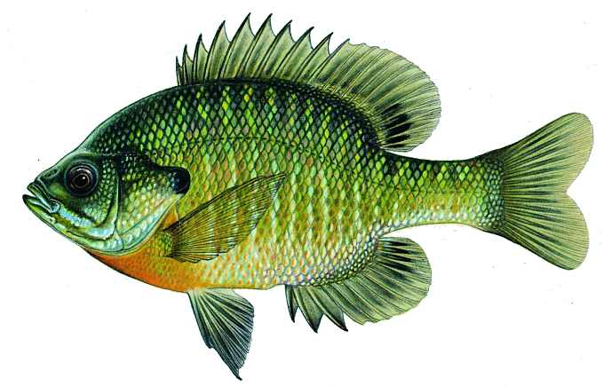
| 07:18, 17 August 2016 | Bluegill (1).jpg (file) | .jpg) |
38 KB | Cellsworth | Bluegill | 1 |
| 07:18, 17 August 2016 | SmallmouthBass.jpg (file) |  |
34 KB | Cellsworth | Smallmouth bass | 1 |
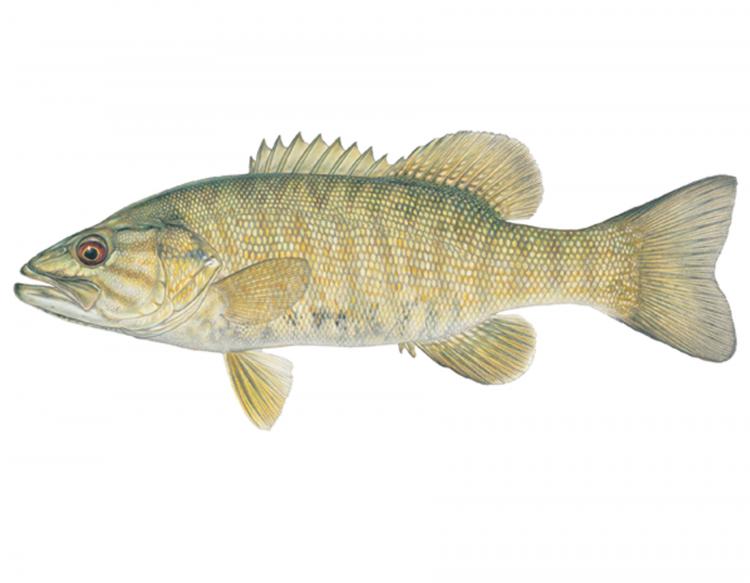
| 07:17, 17 August 2016 | LargemouthBass.jpg (file) |  |
28 KB | Cellsworth | Largemouth bass | 1 |
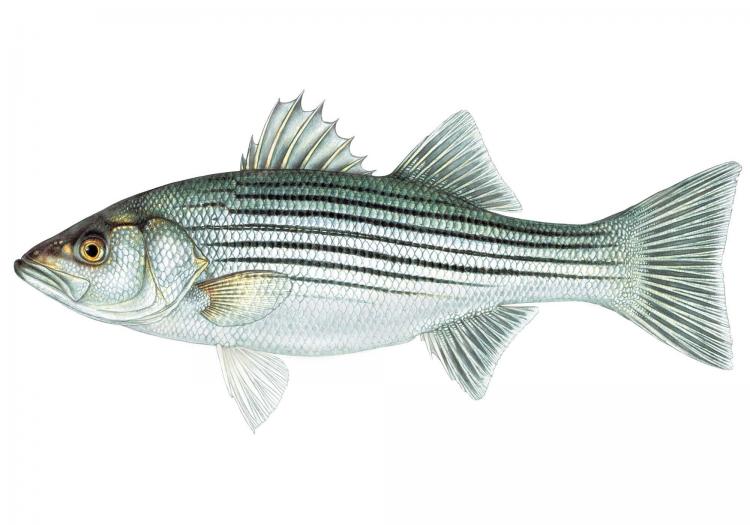
| 07:16, 17 August 2016 | StripedBass.jpg (file) |  |
44 KB | Cellsworth | Striped bass | 1 |
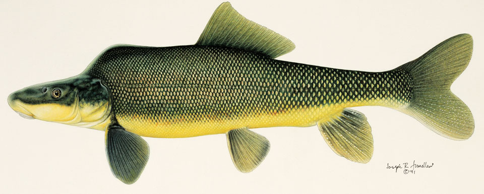
| 07:14, 17 August 2016 | BlackBullhead.jpg (file) |  |
29 KB | Cellsworth | black bullhead | 1 |
| 06:35, 17 August 2016 | ChannelCatfish.jpg (file) |  |
29 KB | Cellsworth | Channel catfish | 1 |
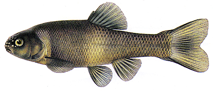
| 06:33, 17 August 2016 | CommonCarp.jpg (file) |  |
23 KB | Cellsworth | Common carp | 1 |
| 07:42, 16 August 2016 | Collins 2016 GCArchSitesAeolian.pdf (file) | 2.35 MB | Cellsworth | Relations between rainfall–runoff-induced erosion and aeolian deposition at archaeological sites in a semi-arid dam-controlled river corridor Brian D. Collins 2016 EARTH SURFACE PROCESSES AND LANDFORMS | 1 | |
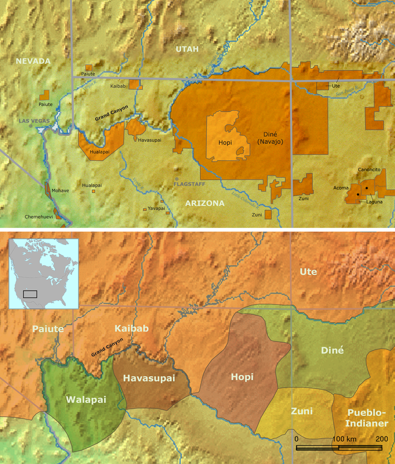
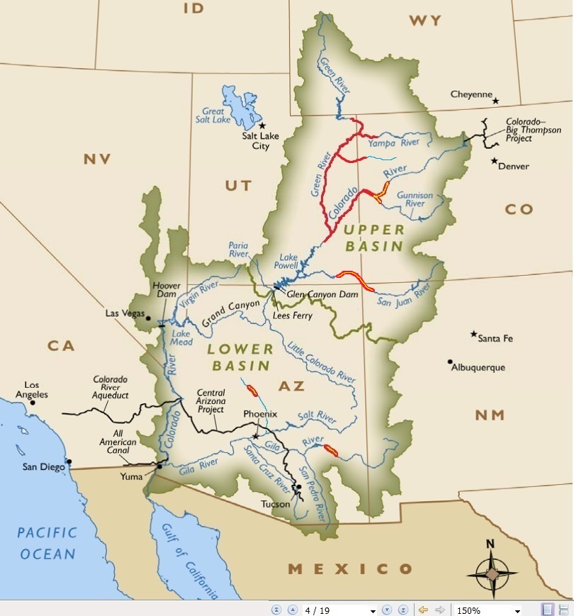
| 10:39, 12 August 2016 | OWDR-Grand-Canyon-Indians.png (file) |  |
1.3 MB | Cellsworth | traditional homelands and reservations of Indian tribes associated with the grand canyon | 1 |
| 07:16, 12 August 2016 | 2006SedimentPEP.pdf (file) | 97 KB | Cellsworth | Protocols Evaluation Program (PEP-SEDS III) Final Report of the Physical Resources Monitoring Peer Review Panel October 6, 2006 | 1 | |
| 07:15, 12 August 2016 | 2005RecreationPEP.pdf (file) | 112 KB | Cellsworth | FINAL REPORT OF THE PROTOCOL EVALUATION PANEL (PEP) ON THE RECREATION MONITORING PROGRAM 2005 | 1 | |
| 07:04, 12 August 2016 | 2001AquaticPEP.pdf (file) | 220 KB | Cellsworth | Final Report of the Aquatic Protocol Evaluation Program Panel November 28, 2001 Fish and Foodbase PEP | 1 | |
| 07:02, 12 August 2016 | 2000CulturalPEP.pdf (file) | 137 KB | Cellsworth | Final Report: Cultural Resource Program Assessment PEP, 26 June 2000 | 1 | |
| 07:00, 12 August 2016 | 1999SedimentPEP.pdf (file) | 39 KB | Cellsworth | Final Report of the Physical Resources Monitoring Peer Review Panel, November 1, 1999 Sediment PEP | 1 | |
| 12:36, 9 August 2016 | Sankey 2016 TamariskRemoteSensing.pdf (file) | 8.8 MB | Cellsworth | Sankey, T.T., Sankey, J.B., Horne, R., Bedford, A., 2016, Remote Sensing of Tamarisk Biomass, Insect Herbivory, and Defoliation: Novel Methods in the Grand Canyon Region, Arizona: Photogrammetric Engineering and Remote Sensing 82(8), pp. 645-652 | 1 | |
| 12:01, 9 August 2016 | Dodrill 2016 DriftModels.pdf (file) | 1.04 MB | Cellsworth | Dodrill, M.J., and Yackulic, C.B., 2016, Nonlinear relationships can lead to bias in biomass calculations and drift-foraging models when using summaries of invertebrate drift data: Environmental Biology Fish, p. 1-12, | 1 | |
| 04:46, 9 August 2016 | GCDAMP Continuity and Strategic Direction memo 2016.pdf (file) | 3.45 MB | Cellsworth | July 8, 2016 memo from Jennifer Gimbel on GCDAMP continuity and strategic direction. | 1 | |
| 07:54, 8 August 2016 | A local perspective on the Lees Ferry trout fishery.docx (file) | 121 KB | Cellsworth | A local perspective on the Lees Ferry trout fishery. By Terry Gunn, owner of Lees Ferry Anglers and Cliff Dwellers Lodge | 1 | |
| 11:40, 5 August 2016 | DO Temp 2014HFE.docx (file) | 360 KB | Cellsworth | How the 2014 HFE and other types of operations affect water quality parameters such as dissolved oxygen (DO) and temperature below Glen Canyon Dam. | 1 | |
| 05:58, 28 July 2016 | 2016 Fish PEP Agenda.docx (file) | 18 KB | Cellsworth | 2016 fish pep agenda | 1 | |
| 07:35, 27 July 2016 | GCDAMP FY16 Fisheries PEP Prospectus final.pdf (file) | 417 KB | Cellsworth | 2016 Fish PEP prospectus (final) | 1 | |
| 07:08, 27 July 2016 | Lf10-trout-leesferry.jpg (file) |  |
38 KB | Cellsworth | 1 | |
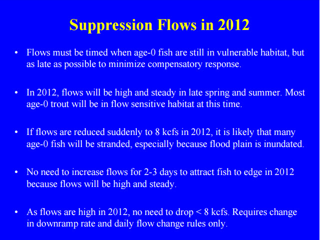
| 12:23, 26 July 2016 | TMFs2012.jpg (file) |  |
137 KB | Cellsworth | A proposal for TMFs in 2012 | 1 |
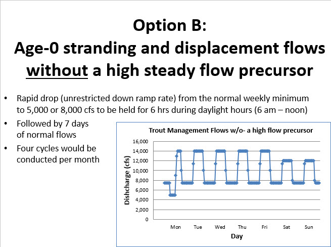
| 12:03, 26 July 2016 | TMFsOptionB.jpg (file) |  |
76 KB | Cellsworth | Trout management flows option b | 1 |
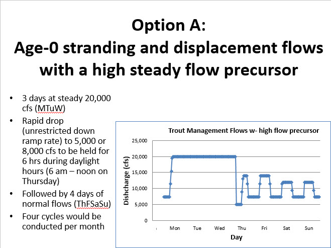
| 12:02, 26 July 2016 | TMFsOptionA.jpg (file) |  |
75 KB | Cellsworth | Trout management flows option a | 1 |
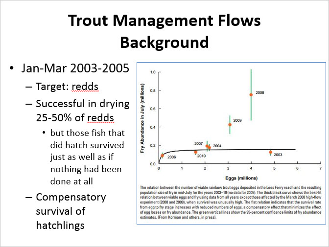
| 12:01, 26 July 2016 | TMFsBackground.jpg (file) |  |
70 KB | Cellsworth | Trout management flows tmfs background | 1 |
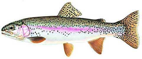
| 10:40, 26 July 2016 | RainbowTrout1.jpg (file) |  |
17 KB | Cellsworth | Rainbow Trout | 1 |
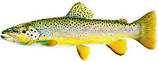
| 10:40, 26 July 2016 | BrownTrout1.jpg (file) |  |
19 KB | Cellsworth | Brown Trout | 1 |
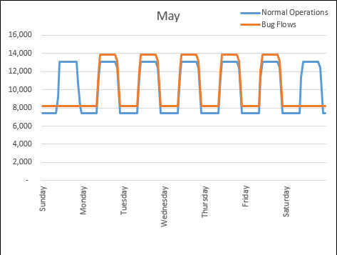
| 10:15, 26 July 2016 | BugflowHydrograph.jpg (file) |  |
29 KB | Cellsworth | Bugflow hydrograph | 1 |
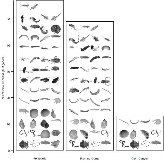
| 09:50, 26 July 2016 | FoodbaseDiversity.jpg (file) |  |
69 KB | Cellsworth | Foodbase diversity Glen Canyon | 1 |
| 09:25, 26 July 2016 | P1020356.JPG (file) |  |
4.9 MB | Cellsworth | Caddisfly hatch below Parker Dam | 1 |
| 11:38, 25 July 2016 | SpeckledDace.jpg (file) |  |
40 KB | Cellsworth | speckled dace | 1 |
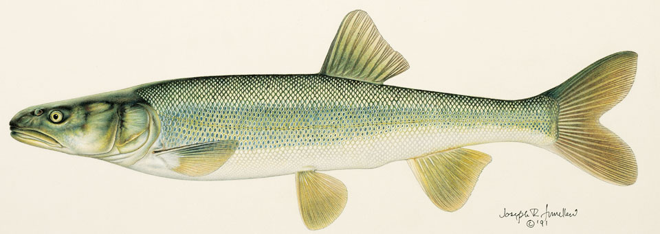
| 11:38, 25 July 2016 | RoundtailChub.jpg (file) |  |
43 KB | Cellsworth | roundtail chub | 1 |
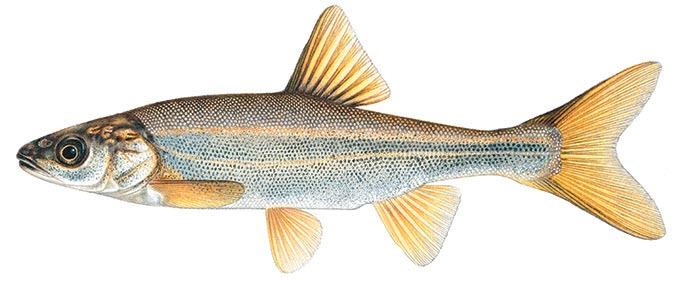
| 11:37, 25 July 2016 | FlannelmouthSucker.jpg (file) |  |
37 KB | Cellsworth | flannelmouth sucker | 1 |
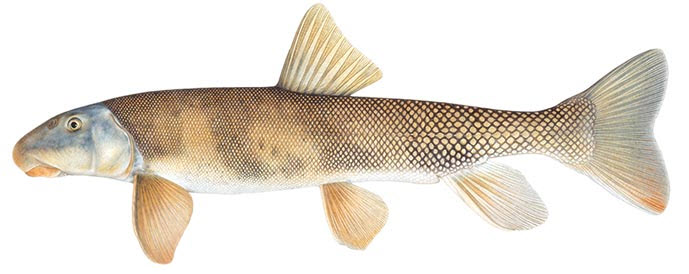
| 11:36, 25 July 2016 | BlueheadSucker.jpg (file) |  |
37 KB | Cellsworth | bluehead sucker | 1 |
| 11:03, 25 July 2016 | Colorado-pikeminnow-large (1).jpg (file) | .jpg) |
68 KB | Cellsworth | Colorado pikeminnow | 1 |
| 11:02, 25 July 2016 | ColoradoPikeminnow distribution (1).jpg (file) | .jpg) |
153 KB | Cellsworth | Colorado pikeminnow map | 1 |
| 11:01, 25 July 2016 | Razorback-large (1).jpg (file) | .jpg) |
84 KB | Cellsworth | razorback sucker | 1 |
| 11:00, 25 July 2016 | Razorback distribution (1).jpg (file) | .jpg) |
151 KB | Cellsworth | razorback sucker distribution map | 1 |
| 10:59, 25 July 2016 | Bonytail distribution (1).jpg (file) | .jpg) |
151 KB | Cellsworth | bonytail chub map | 1 |
| 10:58, 25 July 2016 | Bonytail-large (1).jpg (file) | .jpg) |
63 KB | Cellsworth | bonytail chub | 1 |
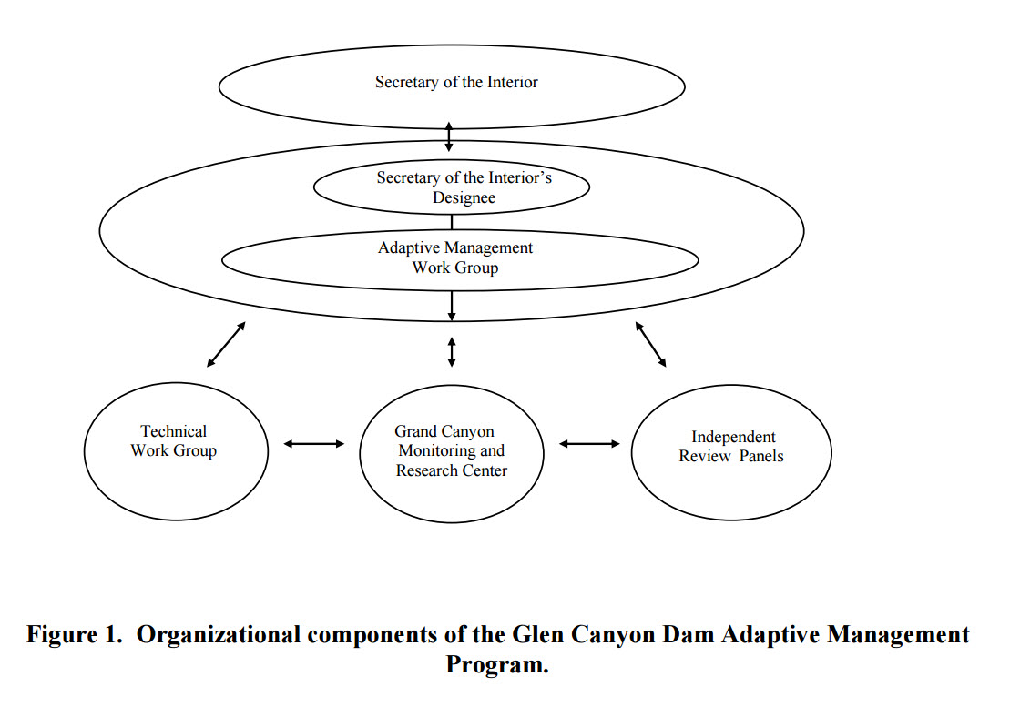
| 11:33, 20 July 2016 | AMPorganization.jpg (file) |  |
115 KB | Cellsworth | Figure 1. Organizational components of the Glen Canyon Dam Adaptive Management Program. | 1 |
| 08:44, 15 July 2016 | MonopolyMan.jpg (file) |  |
11 KB | Cellsworth | 1 | |
| 12:40, 14 July 2016 | AMPplanning.jpg (file) |  |
195 KB | Cellsworth | AMP collaborative science planning and implementation process | 1 |
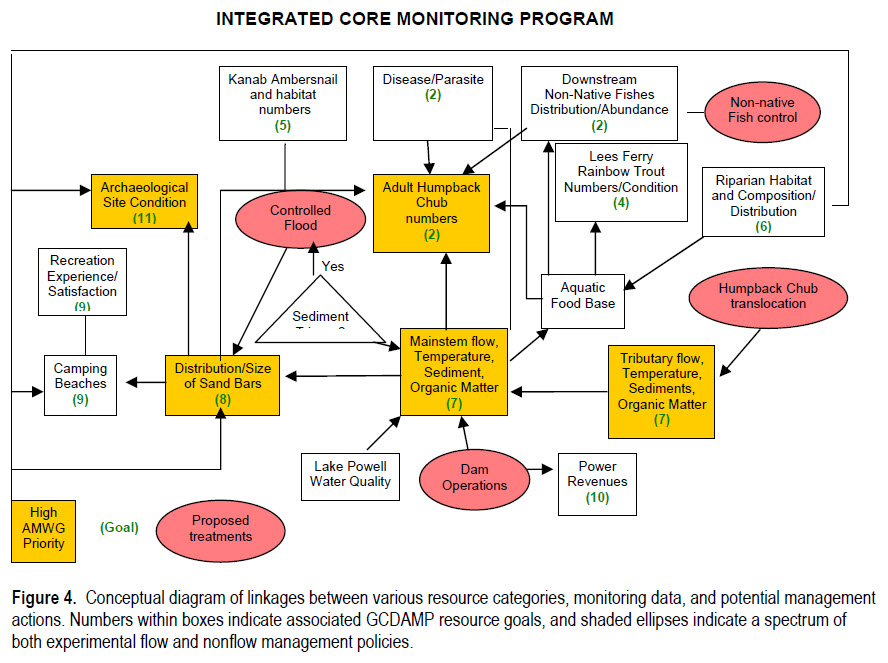
| 07:15, 14 July 2016 | Fig4IntergratedCoreMonitoringProgram.jpg (file) |  |
209 KB | Cellsworth | 1 | |
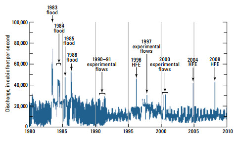
| 11:52, 13 July 2016 | GCDExperimentalFlows.jpg (file) |  |
44 KB | Cellsworth | Figure 5. Continuous discharge record for the Colorado River at Lees Ferry for 1980 through 2009. The observations used to construct this record are at 15-minute intervals. Post-dam floods, experimental flows, and high-flow experiments (HFEs) are indicated. Modified from Topping and others (2003). | 1 |
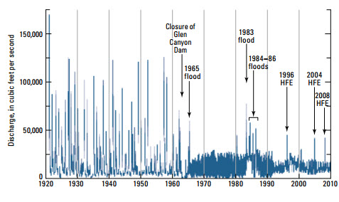
| 11:51, 13 July 2016 | GCDFlowRecord.jpg (file) |  |
46 KB | Cellsworth | Figure 3. Continuousdischarge record for the Colorado River at Lees Ferry (river mile 0) for 1921 through 2009. With the exception of the first 2 years, the observations used to construct this record are at intervals of 30 minutes or less. Closure of Glen Canyon Dam and post-dam floods and high-flow experiments (HFEs) are indicated. Modified from Topping and others (2003). | 1 |
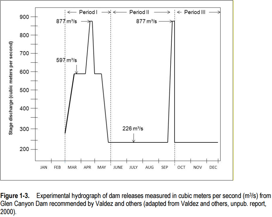
| 08:05, 13 July 2016 | 2000LSSFhydrograph.jpg (file) |  |
105 KB | Cellsworth | The 2000 LSSF hydrograph | 1 |
First page |
Previous page |
Next page |
Last page |